Harnessing Geospatial Technology for Strategic Innovation in Community Development, Environmental Protection, and Natural Resource Management
Our Services
Geospatial Technology
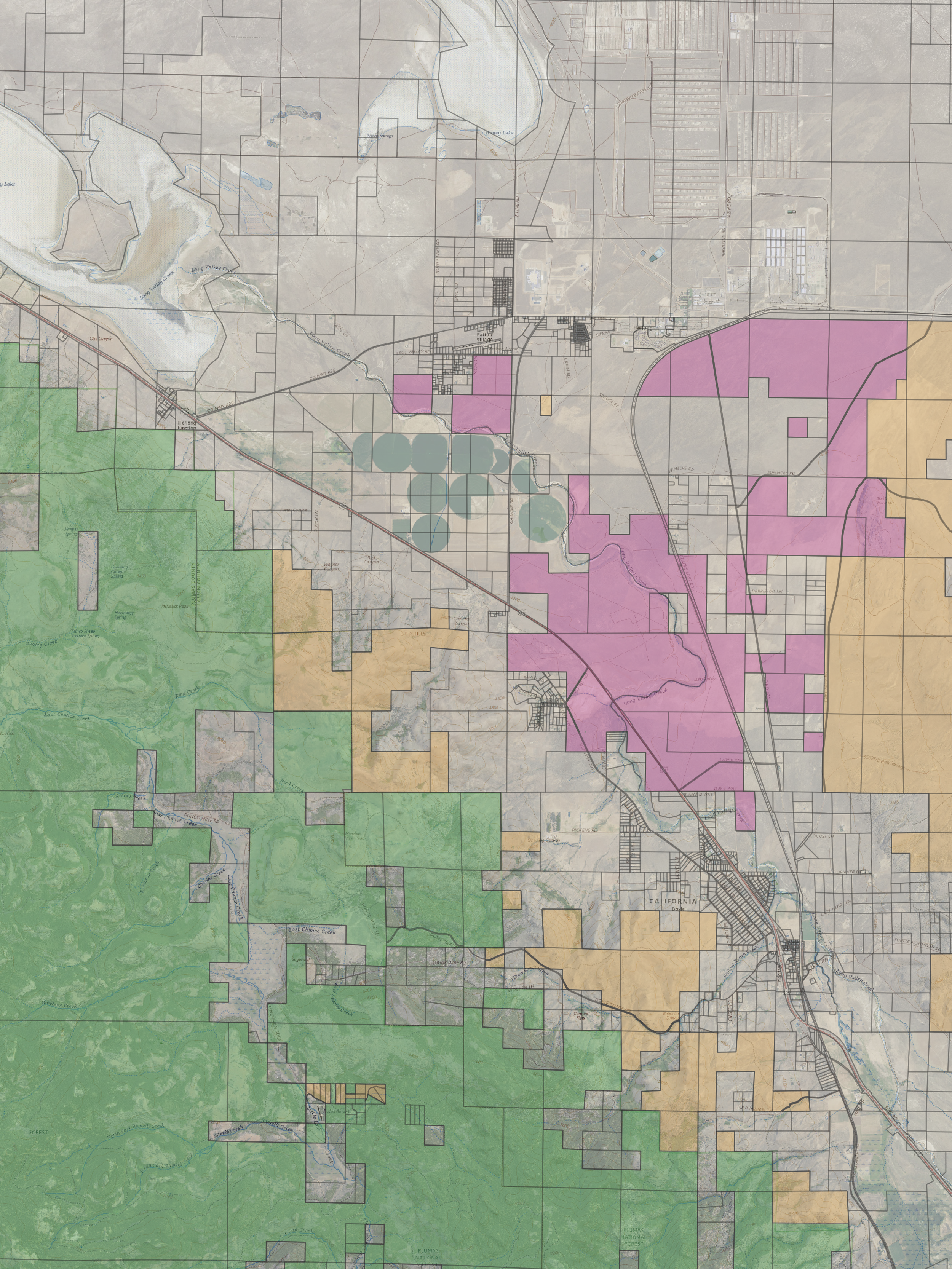
Providing client-tailored comprehensive GIS services, including cartography and data visualization, to support environmental and land use planning. Providing both industry standard and custom tools, we can support your project and operations needs with everything from a basic map to enterprise geospatial operations planning.
Nature-Based Solutions
Specializing in environmental compliance, strategic conservation planning, and natural resource management, we can support your sustainability goals and initiatives with data driven natural resource protection, adaptation and mitigation solutions.
Planning Services
Smart, equitable, and sustainable community development planning should be driven by the latest available data and research. We integrate data, scholarship, and community engagement to deliver robust strategies that will meet your community needs, regional natural resource sustainability, and deliver durable economic growth outcomes.
Strategic Planning
We specialize in developing data-driven strategic plans that align organizational, environmental and community development goals with long-term success. With a systems thinking approach, we help organizations and stakeholders make informed, actionable decisions that promote environmental resilience, enhance operational efficiency, and achieve strategic growth and sustainability objectives.
Community Engagement
Communities understand their own struggles better than anyone else and empowerment is rooted in agile facilitation and engagement methodology. We can assist your community members and organizational stakeholders in identifying common challenges, robust solutions and a shared vision of the future.
Risk Management
In an uncertain future, preparedness pays dividends. We provide comprehensive risk management services designed to assess, mitigate, and adapt to environmental and climate-related challenges. Whether it’s evaluating organizational risk, assessing flood vulnerability, wildfire preparedness, or managing land use for climate resilience, we want to ensure that your risk management strategies are both forward-thinking and effective.
About Us
EvEco, L.L.C. is a geospatial technology firm empowering data-driven, consensus approaches for lasting benefit in community development, environmental protection and natural resource planning. We advise small-to-mid-size communities and organizations in the adoption of geospatial technology practice as part of their operational strategy.
Connect
Interested in working together? Fill out some info and we will be in touch shortly. We can’t wait to hear from you!


